OVERVIEW
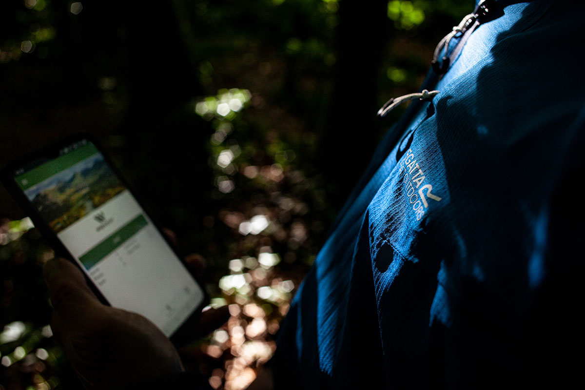
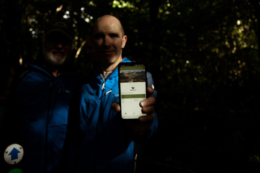
Waywyser is the world’s first dedicated trail and outdoor recreational site management system. Using smartphone technology, internet of things (IoT) devices and a cloud based platform Waywyser has combined all these technologies to revolutionise the management of outdoor sites and trails. A dedicated app has been developed for use by managers and volunteers to allow them to upload reports on invasive species and recreational site issues affecting the biodiversity and ecosystem. Capacity management elements allow for site management to decrease the flow of users and divert them to sites with capacity. IoT people counters record the traffic in real time and feed back to the platform.
Vision, goals and objectives
Develop Waywyser Trail Management System to be the world leader in trail, recreational site and outdoors management system for use by professional management groups and local community groups.
Goals
– build robust system to become the default platform for outdoor recreational site and trail managers
– Replace current paper based system with new system enabled by new technologies
– Ensure the system open system for future growth to incorporate future technologies
– Develop user base for Professional Management groups (Government / State) and Local Community groups
– Build invasive species module to monitor & manage invasives
Expected implementation and outcomes
The initial project focused on defined trails and their management. The Burren Geopark spearheaded the project and then it expanded to a national project when the 18 Rural Recreation Officers in Ireland were trained up on using the system (Each Rural Recreation Officer manages the trails in a specific county). The system was then presented to Comhairle na Tuaithe (The Countryside Council), a council representing the managers of all the outdoor recreational bodies in Ireland and was very favourably received. The system is also being used on two European Innovation Programs – McGillycuddy Reeks EIP (https://www.macgillycuddyreekskerry.com/) and the North Connemara Locally led Agri-Environmental Scheme (https://www.forumconnemara.ie).
A key milestone will be to get trails with multiple landowners and management groups all using the system to give an overall management system for the trail – this was a key finding of a recent court case re: an injury on a mountainside.
Wicklow Case
In 2016 a case was heard in the Irish High Court from a walker suing the National Parks and Wildlife Service after she tripped on a boardwalk and injured her knee. The injury happened on a section of the “Wicklow Way” a long distance walk in County Wicklow. The Wicklow Way is 127km long and covers land managed by a number of different organisations from State Bodies like te National Parks and Wildlife Service and Coillte (Irish Forestry Service) to local government (Wicklow County Council) and private lands.
The walker lost the case but a key discussion in the court was the differing maintenance management approaches taken by the different landowners and the lack of consistency between them.
The key challenges in the project are:
– getting buy-in from state agencies where outdoor recreation is only a small part of their overall remit (Irish Forestry service, waterways Ireland). This is a work in progress but we are taking the approach that we can develop API’s to link our platform to the state bodies internal systems (i.e forestry management systems)
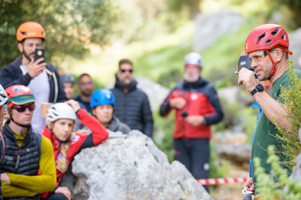
– Volunteers in community groups tend to be older in age. Some are not smartphone confident so developing a simple interface for the system was a key deliverable.
Climbing, mountaineering or outdoor sport focus
The platform allows both professional trail managers and volunteer community groups to manage trails, mountain access routes, mountains and outdoor recreational sites for all users from walkers to climbers. The system allows managers and volunteers to “monitor” the recreational sites via a smartphone app and then the monitoring report is uploaded to an internet based dashboard where they are stored and can be used to assign “tasks” of fixing issues found on the monitoring reports. This is relevant for the management of the site to record the work involved and also other connected issues like insurance for landowners i.e if you have a claim you have a digital record of work undertaken on the trails which can be very important if a claim goes to court.
The system is used on specific defined trails (walking and cycling), on access routes to climbing sites and also on a sitewide basis ie a whole national park (National Parks and Wildlife, Clare) or a whole mountain range (McGillycuddy Reeks in Kerry).
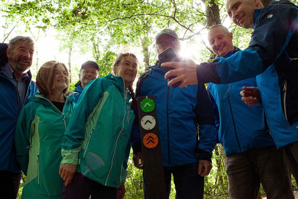
The system links in with other local projects like “Digital Photo posts” where trail users can take photos using a smartphone using a specially designed smartphone holder and then send them to the trail manager automatically by “tapping” the post using Near Field Communications (NFC) technology. This is the same technology that shoppers use to pay by “tapping” their visa card or smartphone. The post is made digital by the addition of a sign with a NFC chip included, these are very efficient and cheap to upgrade a sign (approx. €8 a sign).
Best practice in mountaineering and mountain-based sports for mountain protection
There currently this is the only specifically designed management system for trails and outdoor recreational sites. There are a number of GIS programs and surveying apps but no system designed to monitor and manage outdoor recreational sites. The system takes management from a paper based system widely used to a complete all encompassing management system. It embraces new technology from GPS and cameras in smartphones to internet of things (IOT) devices into one comprehensive system. Multiple users from multiple organisations can manage their areas and the system will pull this together into one management hub. Current paper based systems rely on stand alone surveying tools, digital camera’s and paper based report writing. Our system brings all the technology into one system and works on multi platforms i.e android and apple phones and exports to MS Office applications and GIS programs like QGIS and ARCGIS.
The all encompassing system is secure and backed up to the cloud so there is no loss of data. All monitoring reports are date and time stamped so you have a digital record of when and where a report was undertaken – this could be important in an insurance claim.
The system has included other mountain based auxiliary projects:
– biodiversity
The system allows users to log the location of invasive species. It helps with the identification and quantifying the infestation. The basemap will show additional information like watercourses so you can use this to prioritise the addressing of the invasive species – watercourses can spread spores of invasives. Funding has been secured to enhance this element further to manage the invasive species so in addition to the identification and geolocating it will also document the work to eradicate the invasives, it will allow users to record the stages of treatment and manage the progress
IoT devices
The system has a number of IoT devices linked into it and is open to add more as needed. Sites have live people counters to measure the flow of trail and recreational site users in a live feed. Reports can be generated showing the “busy” times at sites and via marketing and PR the manager can encourage users to come at a quieter time to reduce the detrimental effect on the site and also for Covid-19 reasons and crowds. Vehicle counters are also included which help with assessing the capacity and usage of carparks at trail and mountain access points.
Digital recreation site guides
An add on digital outdoor site guide is being developed which will allow outdoor recreation site users to download an app based guide to the site. It will include safety information and guiding (using the smartphone GPS) but all elements to enhance the user experience i.e biodiversity information on the area, local history. All this will be communicated via audio files, photos, videos and text.